HYDROGEOLOGICAL SITING

Precision Geophysical Surveys for Water Sources

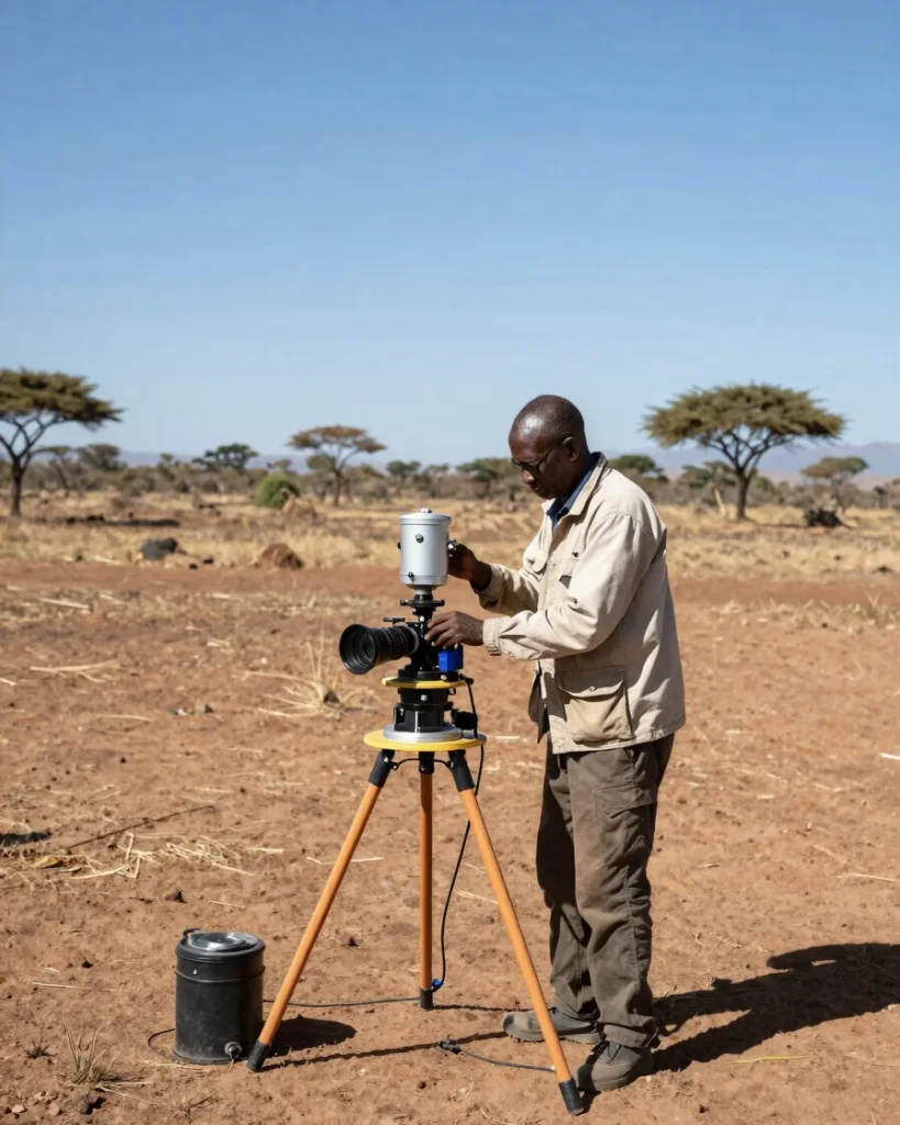
Before heavy drilling equipment reaches the property, our hydrogeologists conduct geophysical surveys for water sources using electric resistivity and seismic testing to pinpoint optimal aquifer depth.

Precision hydrogeological siting prevents high-risk dry wells, ensures high water yields, and satisfies environmental licensing requirements for agricultural, commercial, and residential clients.

PROJECT LIFECYCLE

From Site Mapping to Continuous Flow

01

Geophysical Survey & Permitting

Comprehensive hydrogeological siting, aquifer mapping, and environmental compliance licensing prior to rig setup.

02

Borehole Drilling & Casing

Heavy rig deployment, precision drilling, and steel casing installation to protect long-term water purity.

03

Equipping & Yield Testing

Submersible solar or electric pump installation accompanied by rigorous 24-hour continuous yield testing.

04

Storage & Maintenance

Elevated tank setup, distribution pipework, and scheduled preventive maintenance visits.

Consult Our Hydrogeological Team

Schedule a site survey to evaluate groundwater potential for your farm, school, or development.